

)
)
BRMB
Backroad Mapbooks Water- Resistant Folding Map Bowron Lake Canoe Circut
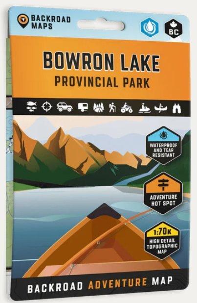
622098110210Highlighting the Bowron Lakes Canoe Circuit in Bowron Lake Provincial Park, this waterproof map features the entire canoe route and its access points, campsites, cabins, portage trails with distance markers, fish species, hiking trails and waterfalls. Use this Adventure map for fishing, camping, exploring, canoeing, kayaking, wildlife viewing and more.
With 1:10,000 water and road data, no other map for the area provides you with this level of recreational or topographic detail. Covering 2,715 sq. km (1,050 sq. mi), this map includes Bowron Lake Provincial Park, Bowron Lake, Bowron River, Cariboo Falls, Cariboo River, Indianpoint Lake, Isaac Lake, Lanezi Lake, Spectacle Lakes, Swan Lake and more!
The printed version of the map is displayed at 1:70,000 scale on 5x8.25 inches (folded) / 27.8×39.4 inches (unfolded) paper on a durable waterproof synthetic material.
Reviews
Customer Reviews
This product has not yet been reviewed.
Recently Viewed Items


622098110210
BRMB
Backroad Mapbooks Water- Resistant Folding Map Bowron Lake Canoe Circut
$19.95
Add to Cart
Share:
Share on Facebook Share on Twitter Share on Pinterest Tell a friend