
BRMB
Backroad Mapbooks Water-Resistant Folding Map Noralee
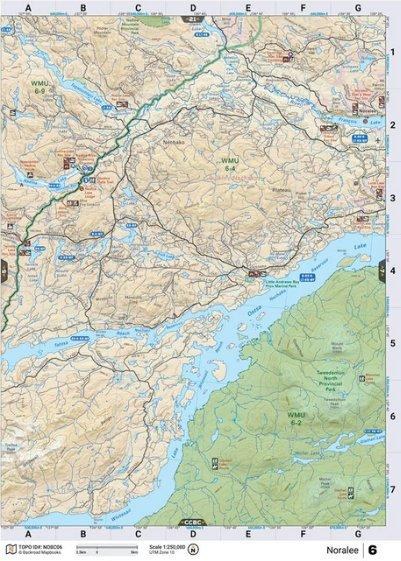
BRMB NoraleeThis recreation topographic map for the Noralee area highlights all the logging roads, trails and recreation features for fishing, hunting, camping, hiking, mountain biking, canoeing, kayaking, backcountry skiing, wildlife viewing, ATVing, snowmobiling and more. No other map for the area provides you this level of recreational and topographic detail. New features include private land and labelled fish species plus countless new roads, trails and recreational Points of Interest. Covering Tweedsmuir Prov Park, Whitesail Lake, Ootsa Lake, Tahtsa Reach, Nadina Lake, Francois Lake, Noralee, Tagetochlain Lake, Nadina River, Whitesail Range and more, this map contains new features such as private land and labelled fish species. This 1:85,000 scale map covers 3,040 km2 (1,175 mi2), measuring 50 x 63.5 km (30 x 39.5 mi). This map also covers the following Wildlife Management Units: WMU 6-2 Skeena, WMU 6-4 Skeena, WMU 6-9 Skeena.
Reviews
Customer Reviews
This product has not yet been reviewed.
Share:
Share on Facebook Share on Twitter Share on Pinterest Tell a friend